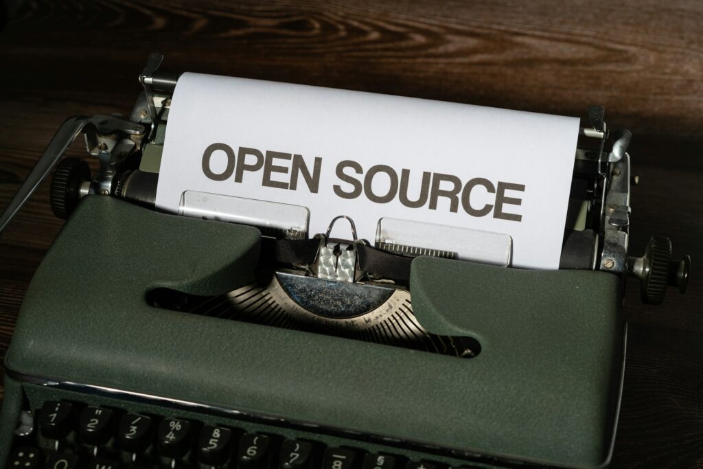
Photography has always had two products.
One is the image. The other is the chain of decisions behind it.
For years, most publishing workflows treated that second product as private. Camera data stayed buried. Location context was inconsistent. Captions were thin. Process was hidden.
That model no longer works.
In a world saturated with synthetic visuals and context-free media, authentic photography has to be auditable. If we want people to trust real images, we need to publish the evidence that those images came from reality.
That is what I mean by open-source photography.
Not “free images.” Not copyright surrender. Not giving away licensing rights.
Open-source photography means opening the process metadata around the image so the viewer can inspect, verify, and learn.
This treatise makes two claims in absolute terms:
- Transparency of process must never be confused with transfer of ownership.
- Openness is the default, but it is not unconditional. Some places deserve to stay unmapped.
What We Actually Publish
This is not theory. On 75CentralPhotography, every photograph ships with its working notes attached. For a typical frame, a reader can see:
- The gear: camera body and lens.
- The exposure: aperture, shutter speed, ISO, and focal length.
- The moment: the original capture date, which organizes the archive’s timeline.
- The conditions: a weather summary and temperature at the time of capture.
- The place: GPS latitude, longitude, and altitude, plus a human-readable hierarchy such as Downtown Dallas, Dallas, Texas, United States.
- The editorial layer: caption, categories, tags, and series membership.
- The machine-readable layer: structured
Photograph/ImageObjectdata with EXIF values, capture date, geo coordinates, creator, credit line, copyright notice, and a license URL, so search engines and tools read the same facts people do.
None of it is decorative. Every value is a door.
Click “ƒ/5.6” and you see every photograph in the archive made at ƒ/5.6. Click a lens and you see what that lens has actually done in the field, not in a review. Click a neighborhood and you walk up the hierarchy to the city, the state, the country. Open the map and the whole archive becomes a territory you can explore by cluster, by camera, by lens, or by place.
That is the open-source part: not just showing the data, but making it navigable, comparable, and learnable. Anyone can study how a scene was made, then go make their own version. That is the photographic equivalent of reading someone’s source and forking it.
What Open-Source Photography Actually Means
Open-source photography is a publishing philosophy:
- Share the technical context: camera, lens, aperture, shutter speed, ISO, focal length.
- Share the spatial context: GPS and a clear location hierarchy.
- Share the temporal context: when the photo was actually made.
- Share the editorial context: caption, tags, category, and related work.
- Keep the rights closed: the image is still licensed, credited, and protected.
In software terms, think of it this way:
- The final photo is the compiled binary.
- The metadata and context are the source code and build logs.
The work becomes inspectable.
Why This Matters Now
Viewers are not just asking, “Is this beautiful?” They are asking, “Is this real?”
When we publish photos without context, we force audiences to guess. Guessing leads to doubt. Doubt erodes trust. And trust is the foundation of editorial, documentary, and commercial photography.
Open-source photography restores confidence by making provenance visible.
If a photo includes:
- Camera body and lens model,
- exposure values that make physical sense,
- coherent GPS,
- consistent place taxonomy,
- and neighboring photos with related metadata,
then the image exists inside a verifiable system instead of as an isolated claim.
The Ambient AI Risk
The core threat is not one dramatic event. It is a slow erosion.
- Real photographs are mixed into synthetic streams until origin becomes unclear.
- Attribution gets thinner with every repost, scrape, and summary layer.
- Context collapses while confidence in false certainty rises.
- Rights language is treated as optional unless enforced in visible workflows.
None of this always arrives as obvious theft. More often, it shows up as ambiguity at scale.
That ambiguity is dangerous to both trust and licensing value. Open-source photography, done correctly, counters it by making provenance legible and ownership unmistakable.
Metadata Is Not Boring: It Is the Story Architecture
EXIF is often treated as trivia. It is not trivia.
It answers crucial questions:
- Was this scene shot handheld at 1/500s or on a tripod at 1s?
- Was the subject compressed at 200mm or interpreted at 23mm?
- Was the shot made in low light with high ISO, or in bright daylight at base ISO?
- Was depth of field intentional?
Those details do not just satisfy gear curiosity. They explain intent.
And intent is central to authorship.
Geotagging and Place Hierarchy: Context Without Chaos
A coordinate pair is useful. A place hierarchy is usable.
“47.6062, -122.3321” helps a machine. “West Edge, Seattle, Washington, United States” helps a human.
When you combine both, you get discoverability and narrative continuity.
That makes map-based exploration possible, and it makes archives far more meaningful over time. A photo stops being “an image from somewhere” and becomes part of a visual record of a place.
The Exception: Where Openness Stops
Open by default is not open at any cost.
A coordinate is not neutral. It can lead a crowd to a fragile place, or lead a stranger to someone’s door. So some locations in the archive are deliberately generalized, offset, or withheld entirely. The categories are consistent:
- Private homes and private people. Residences, friends’ and family’s property, and anywhere a precise pin would identify where someone lives.
- Fragile natural places. Nesting and roosting sites, rare plants, unmarked trails, and quiet spots that can be loved to death once a geotag goes viral.
- Cultural and sacred sites. Places where communities have asked not to be mapped, or where visitor pressure causes real harm.
- Sensitive contexts. Shelters, clinics, gatherings, and situations where a location could expose a vulnerable person in or near the frame.
- Hazardous or restricted places. Abandoned structures and closed areas where a precise pin works as an invitation to trespass or get hurt.
- My own patterns. The places that would reveal routine and home base.
In those cases, the technical record stays intact. You still get the camera, lens, exposure, date, and conditions. Only the spatial precision changes. The pin may drop to the city level, move a reasonable distance, or disappear, and the place hierarchy may stop at a broader level.
The important rule: redaction is disclosed, never silent. Every map in the archive carries a note that some photo locations may be inaccurate or obfuscated, linked to a plain-language explanation of why. An honest “I blurred this on purpose” is more trustworthy than false precision, and it keeps the rest of the dataset credible.
Open-source software has the same instinct. You publish the code, not the credentials. Transparency serves the viewer; it should never come at the expense of the people and places in the picture.
Open Process, Closed Rights
Some photographers hear “open” and understandably worry about theft.
Open-source photography is not anti-licensing. It is pro-licensing.
A clear metadata trail increases the value of legitimate licensing:
- Buyers see provenance and professionalism.
- Editors can validate context faster.
- Attribution can be richer and more accurate.
- Disputes are easier to resolve with structured evidence.
You can be transparent about process and strict about usage rights at the same time.
You should be.
Non-Negotiables: Rights Are Retained
If we are serious about open-source photography, we need a bright legal and ethical line:
- Metadata can be open for inspection.
- Images remain closed for unauthorized reuse.
- Copyright remains with the photographer unless explicitly licensed.
No ambiguity. No accidental rights drift.
In practical terms, every open-source photography implementation should publish these commitments plainly:
- All photographs are copyright the creator, all rights reserved unless otherwise stated in a specific license.
- No training use: images may not be used to train, fine-tune, or evaluate image-generation or vision models without explicit written permission.
- No derivative commercial use without license.
- Metadata transparency does not grant reproduction rights.
- Licensing remains the only legal path to reuse.
If those five statements are not clearly visible, the system is incomplete.
Open-source photography is a provenance standard, not a giveaway protocol.
Implementation Safeguards (So Rights Stay Protected)
Treat rights protection as part of architecture, not a footer afterthought.
- Put plain-language rights text near the image and in the site-wide copyright policy.
- Include machine-readable rights signals in structured data and image metadata where practical.
- Publish explicit AI-training prohibitions in usage terms.
- Keep licensing contact paths obvious and frictionless.
- Maintain consistent attribution and ownership labels across archive pages, map popups, and single-photo pages.
The goal is simple: make permitted use easy, unauthorized use unmistakably prohibited, and provenance highly visible.
A Practical Publishing Stack for Open-Source Photography
If you want to implement this approach today, publish each photo with:
- The image itself.
- A concise caption in plain language.
- Technical metadata fields:
- camera
- lens
- aperture
- shutter speed
- ISO
- focal length
- Location metadata:
- GPS
- most specific place
- full place hierarchy (location > city > state > country)
- Time metadata:
- capture date
- Taxonomy metadata:
- category
- tags
- optional series membership
- Related-photo links generated from shared metadata and taxonomy.
- A map view that lets readers traverse the archive geographically.
- A location-sensitivity check before publishing: does this pin put a person, a home, or a fragile place at risk? If so, generalize or withhold it, and say so publicly.
This is not overhead. This is product quality.
The Next Decade of Photography Will Be Provenance-Driven
The best photographers will still win on vision, timing, and craft.
But in the coming years, another differentiator will matter just as much: provenance fluency.
Who can show not only the picture, but the process? Who can publish work that is both emotionally compelling and technically inspectable?
Open-source photography is the path forward.
Not because metadata is fashionable. Because trust is.
If you are a photographer, start with your next post: publish one complete metadata set and one clean place hierarchy, and decide in advance which places you will never pin.
If you are a publisher, make metadata display a first-class design feature, not an afterthought.
If you are building tools, optimize for provenance workflows.
Real photography does not need less context in 2026. It needs more.